
New Brunswick ZIP Code Directory Coverage
New Brunswick’s primary geographic postal context is 08901. The USPS material identifies the New Brunswick Main Post Office at 86 Bayard Street with an 08901 delivery line. Other labels in the surrounding routing material need more care. ZIP labels are delivery designations, not legal municipal boundaries, parcel boundaries, or neighborhood borders. The table keeps each label within the scope the research supports instead of assigning unverified neighborhood coverage.
| ZIP | Supported New Brunswick context | Postal reference | Records note |
|---|---|---|---|
| 08901 | Primary geographic New Brunswick postal context | New Brunswick Main Post Office, 86 Bayard Street | Use a full address to confirm delivery; postal use does not replace parcel municipality. |
| 08902 | Appears in New Brunswick and North Brunswick routing-label material | Verify exact delivery use through USPS | A routing association is not a city-boundary finding. |
| 08903 | Used on county PO Box and institutional correspondence in New Brunswick | USPS routing material can associate it with North Brunswick | Retain the complete line and verify legal municipality with parcel data. |
| 08904, 08905, 08906, 08989, 08899 | Observed special, label, PO-box, or routing possibilities | Exact delivery function was not confirmed in the inspected sources | Do not classify these labels without a full USPS result. |
This postal directory distinguishes what the delivery evidence says from what it does not say. A New Brunswick mailing line may be correct while the legal municipality remains unverified. A parcel map and full USPS address check supply the next two checks.
Verify a New Brunswick ZIP Code
Use the official USPS address lookup with the full street address and unit where applicable. The inspection confirmed its city/state and address-lookup purpose, but the live field labels and result controls were not captured. Do not substitute a nearby address or assume a ZIP+4 from the block. Save the returned postal city and ZIP+4 only when USPS supplies them, then compare the line with the municipality and parcel data.
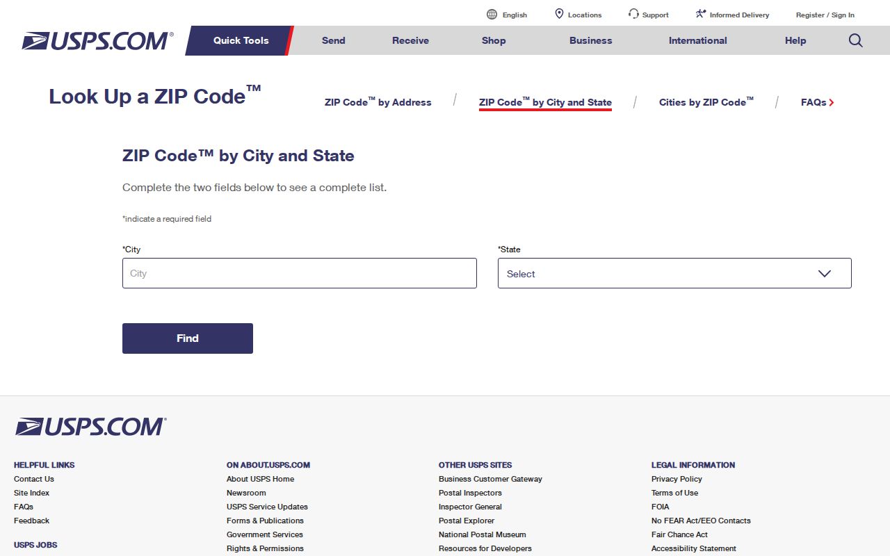
The USPS view is a delivery check, not a parcel viewer. It can resolve an address line before New Brunswick postal research moves to tax, deed, or historical sources.
- Enter the complete street address and unit in the official USPS lookup, then keep the result date with the printed address.
- Record the USPS-standardized line, postal city, ZIP, and ZIP+4 only when they appear in the official result.
- Search NJGIN or Middlesex GIS with the address, county, municipality, block, or lot concepts that those tools actually confirm.
- Place the parcel municipality beside the postal city. Mark a mismatch rather than silently replacing one field with the other.
- Use a dated deed, tax, directory, or election source only for the limited relationship it records at that time.
Note: A delivery result validates a postal line for the time checked; it does not establish a municipal boundary or a person’s current address.
08901 in New Brunswick Records
08901 is the strongest starting label for New Brunswick ZIP code work because the research identifies it as the primary geographic postal context and places the Main Post Office at 86 Bayard Street. Even so, an 08901 result should be treated as one part of an address record. The city has county offices, university and medical settings, civic buildings, and neighborhood-scale addresses in a compact area. An address can represent an institution rather than a household, so the record type and date matter as much as the ZIP.
For a parcel trail, the NJGIN Property Explorer confirms address, county, municipality, block, and lot concepts. Its hosted parcel, tax-download, map-service, and application data can redact protected owner names under Daniel’s Law. The state also warns that county parcel boundaries may not edge-match. Use 08901 to frame the postal check, then use the parcel reference to test legal geography.
NJGIN Property Explorer is the source for this parcel-search image.
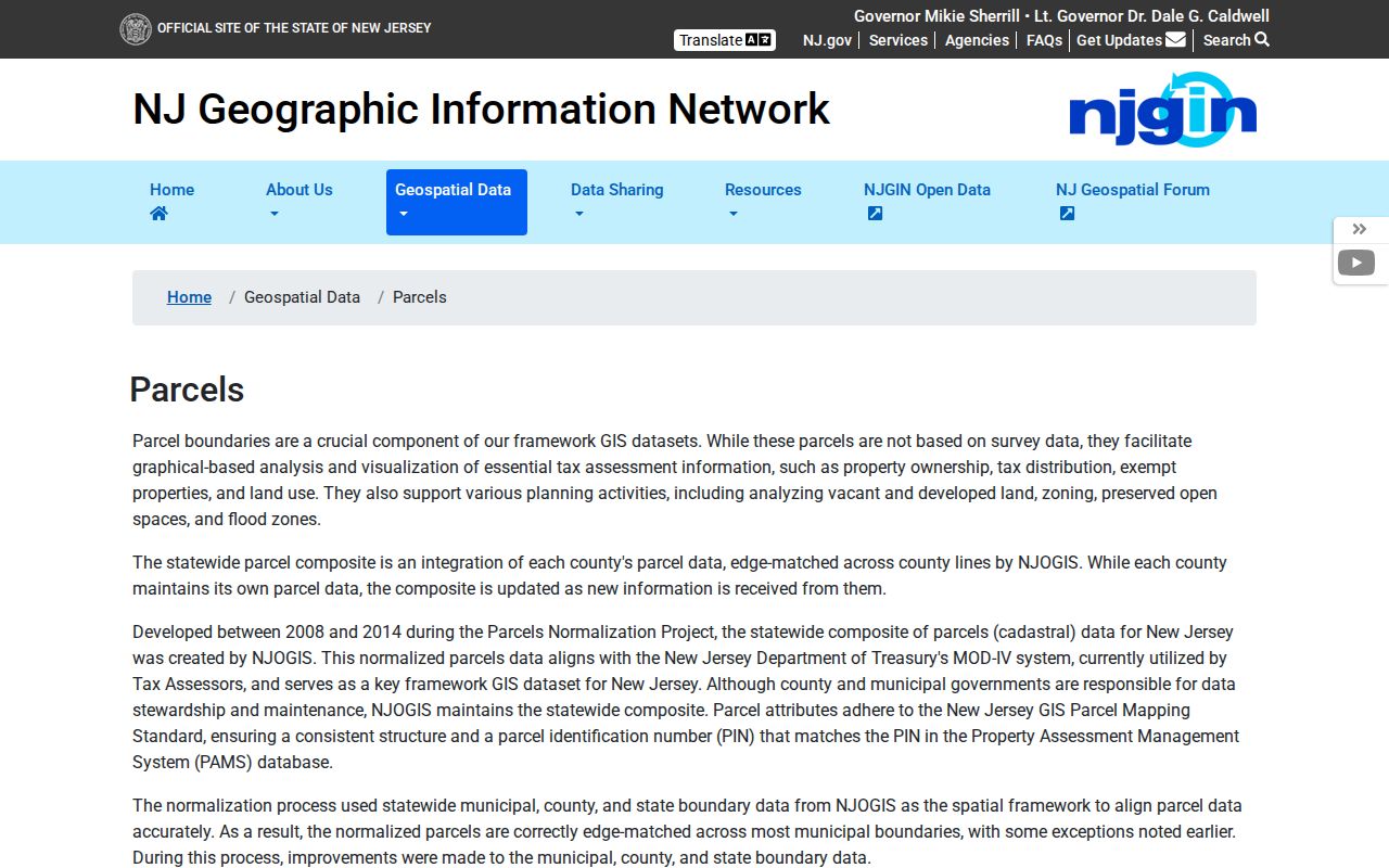
The NJGIN screen supports an address-to-parcel check after USPS validates a delivery line. It does not confirm a ZIP filter or turn a postal label into a municipal boundary.
New Brunswick’s July 1, 2025 population estimate was 57,133 across 5.23 land square miles. That aggregate context explains why a postal label can cover dense institutional and civic activity as well as residential addresses, but it cannot identify any person or establish a ZIP boundary.
08902 and 08903 Need Context
The apparent conflict around 08902 and 08903 is a local records issue, not a typo to erase. USPS routing material commonly associates those labels with North Brunswick in some contexts, while New Brunswick institutions and Middlesex County correspondence use a New Brunswick 08903 PO Box line. The Middlesex County Clerk mailing address is PO Box 1110, New Brunswick, NJ 08903, while its physical record room is at 75 Bayard Street, New Brunswick, NJ 08901. Keep the two lines in their original form because each serves a different purpose.
The 2017 USPS postal bulletin routing table supplies the next source image.
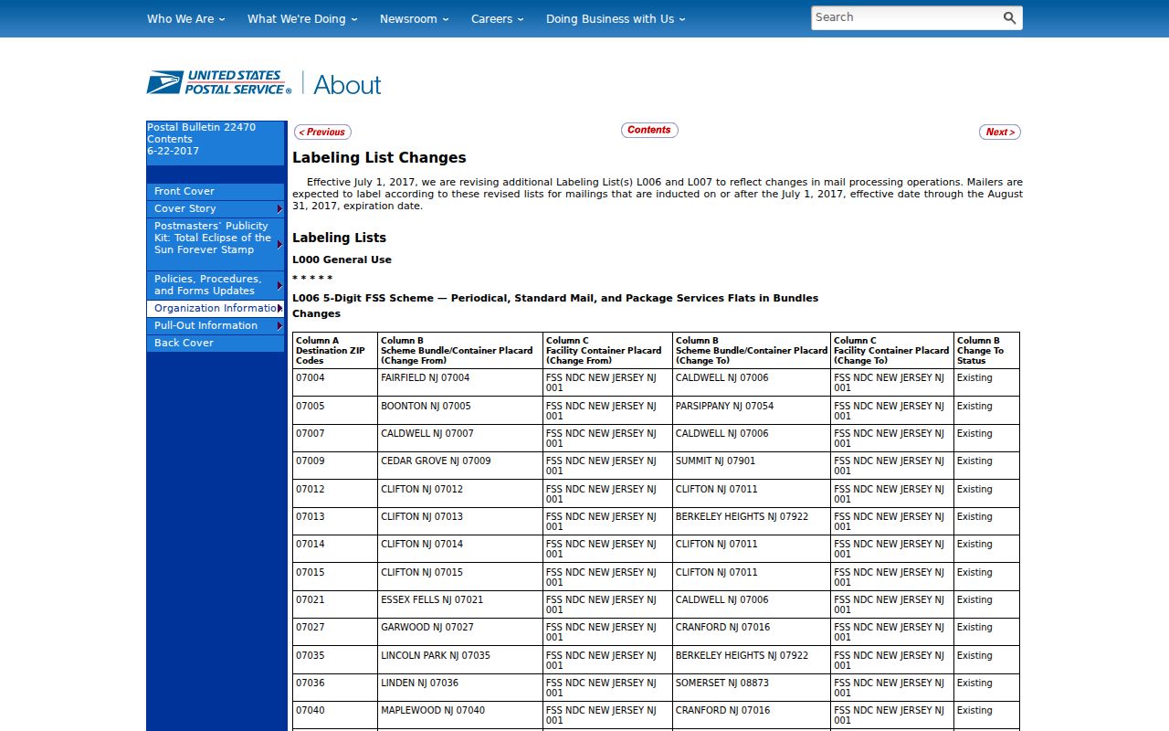
The routing material is evidence about postal labels and containers. It is not evidence that a ZIP changed a city limit, that an address was annexed, or that a particular building lies in a particular municipality.
New Brunswick ZIP Code Search Fields
There was no official New Brunswick parcel portal with a confirmed ZIP search field in the research. That limitation shapes the proper workflow. USPS can validate a delivery address, but NJGIN Property Explorer was confirmed for address, county, municipality, block, and lot, not ZIP filtering. The Middlesex parcel service exposes Parcels and Tax Blocks layers with query formats, but a ZIP field and interactive search controls were not confirmed. Do not claim that these sources return a ZIPwide resident list.
| Official tool | Confirmed concepts or purpose | Unconfirmed or limited point |
|---|---|---|
| USPS ZIP Code Lookup | City/state and address lookup for delivery verification | Live input labels, required fields, and result controls were not captured. |
| NJGIN Property Explorer | Address, county, municipality, block, and lot | No ZIP filter was confirmed; Daniel’s Law can redact owner names. |
| Middlesex Parcels MapServer | Parcels and Tax Blocks layers; JSON, geoJSON, and PBF query formats | ZIP field, popup details, and map-browse controls require live confirmation. |
| Middlesex election-list route | Request, password, and Excel-response workflow for named list types | ZIP filtering, form fields, requester eligibility, and list columns were not confirmed. |
A postal directory is still useful without a ZIP-filter field. It provides an address-normalization trail: full USPS line, legal municipality, county, parcel or block/lot, and dated record source. That method is more defensible than treating a broad postal label as an official resident roll.
Find New Brunswick Residents by ZIP
To find records within a New Brunswick ZIP code, start with an individual full address rather than a blanket ZIP query. USPS first resolves delivery information. NJGIN or Middlesex GIS then tests the property’s address and parcel context. The county deed index can add a dated instrument trail, while voter records may corroborate a registration snapshot when obtained through the official route and used within its limits. Each source has a different access channel: web lookup, public map service, Bayard Street record room, request workflow, library, or archive.
New Jersey registry law says the public voter list is organized by street, residence number, and name, not that the public portal offers a ZIP filter. The current state registration-check form was blocked during inspection, so field labels and ZIP capabilities remain unconfirmed. Middlesex election services describes password-delivered requests and Excel responses for certain operational lists, but its request form and ZIP filtering were not inspected. Ask for the election, district, list type, date or snapshot, and desired format rather than assuming a postal search option.
Once a postal area narrows to a specific address or street, the New Brunswick street directory has the parcel, deed, and historical-address workflow. The ZIP-focused record check keeps its focus on the postal and municipal comparison that comes before that street-level work.
Note: A name or address found in a dated record should be described by that source’s date and relationship, never as a current ZIPwide roster.
New Brunswick ZIP Code Labels Change
Historical postal routing can explain an old directory, newspaper, or office line, but it does not prove a municipal change. The 2017 postal bulletin documents label and container changes involving New Brunswick and North Brunswick. Cite it as a routing label with its date. A historic source may omit ZIPs, use an older postal zone, or print a former delivery label. Preserve the original text first, then add a dated USPS interpretation only when the official source supports it.
The state’s parcel landscape changed too. The NJGIN homepage reported a May 2026 parcel-data update that included Middlesex, a March 11, 2026 transition away from an older ArcGIS-hosted parcel service, and a May maintenance notice. Save the portal URL and the date it was viewed because older saved parcel links or owner-field behavior can change. This is a records-access update, not a new ZIP boundary.
New Brunswick ZIP Code Terms
Postal and geographic terms need plain definitions before they are used in a New Brunswick postal comparison.
- ZIP
- A USPS delivery designation. It is not, by itself, a city limit, parcel boundary, or proof of a person’s municipality.
- ZIP+4
- An added postal segment for more precise delivery routing. It should be recorded only from a full official address result.
- PO-box ZIP
- A delivery label used for a post-office box or mailing purpose. It can differ from an organization’s physical location.
- Unique ZIP
- A ZIP used for a specific delivery function or organization. The inspected sources did not confirm a current New Brunswick unique-ZIP list.
- Carrier route
- A mail-delivery route. It is not a legal municipal or parcel boundary.
- ZCTA
- A Census approximation built from blocks for statistics. It is not identical to USPS ZIP geography and should not decide an individual address.
Census ZCTAs can support aggregate analysis when the year, table, geography, and estimate type are cited. They are not a way to determine whether one address is inside New Brunswick. Use the municipal and parcel sources for that question.
New Brunswick ZIP Boundaries Need Proof
A ZIP code boundary and a New Brunswick city limit are different kinds of geography. USPS labels guide delivery. A municipal tax map, legal description, and parcel record address jurisdiction. NJGIN’s parcel information adds another layer and warns that county parcel edges may not align perfectly with statewide data. If one source says “New Brunswick, 08903” and the parcel municipality is not verified, report the result as a postal-city finding with the parcel question still open.
No official city-limit ZIP shapefile or parcel-level ZIP field was located in the sources inspected. That gap is useful information. It means special labels such as 08904, 08905, 08906, 08989, and 08899 should stay in a “verify exact use” category until a full USPS lookup establishes their delivery function. It also means a ZIP-wide claim should not be constructed from adjacent parcels or a label list.
Keep a New Brunswick ZIP Record
For a repeatable New Brunswick ZIP record search, use a row that preserves the typed address, USPS-standardized line, postal city, ZIP, ZIP+4, legal municipality, county, block/lot, parcel ID, historical address, ZCTA if used, source date, and a conflict note. Leave a cell blank when the source did not supply it. A full record of uncertainty is more valuable than a neat but unsupported address merge.
For current sources, record whether the evidence is a delivery result, annual tax snapshot, parcel map, deed index, election record, or request response. For historical sources, add the directory edition and page, map sheet, or instrument identifier. This field-by-field approach respects the fact that a postal label, parcel, owner field, and historical occupant are each different evidence.